Talk About Geophysics! TAG Webinar Series
EEGS’ Educational Webinar Series 
EEGS has developed an educational webinar series exploring topics ranging from scientific presentations to a deeper dive into noted authors’ published articles. The webinar series is intended to offer an informal setting and an interactive opportunity to address diverse geophysical topics. Students will be pleased to see that some scheduled topics will focus on career paths, working with advisors, etc. and small business owners will benefit from sessions ranging from business technical tools to client management.
Send Feedback or Suggest a TAG Webinar
If you have questions, email [email protected]. If you'd like to suggest a future TAG Topic or offer to host a webinar, please click here (for a short, online feedback form for EEGS' TAG Webinar organizers). You do not need to be a member to submit the form, but you will need to register at the EEGS web site (registering is entering your email address and setting up a username and password) to provide feedback. EEGS members can access recorded TAG Webinars by logging in and clicking here.
EEGS Members Can View Recorded TAG Webinar presentations
Members who are logged in can click on this link and access the links and passwords to view recorded presentations.
All TAG Webinars begin at times based on US Mountain Time Zone.
February TAG Webinar
Exploring the Depths: New Transient Electromagnetic Methods in Groundwater and Mineral Exploration
Tuesday, February 24, 2026
Title: Exploring the Depths: New Transient Electromagnetic Methods in Groundwater and Mineral Exploration
Speaker: Dr. Esben Auken
Date: Tuesday, February 24, 2026
Time: 10:00 a.m. PT; 11:00 a.m. MDT; 12:00 p.m. CDT; and 1:00 p.m. EDT and 5:00 p.m. UTC
Registration is Required!
Register in Advance for this webinar: https://us02web.zoom.us/meeting/register/M0ZJWf25Ss2ufaUQNHdnuQ
After registering, you will receive a confirmation email containing information about joining the meeting.
Exploring the Depths: New Transient Electromagnetic Methods in Groundwater and Mineral Exploration
Transient Electromagnetic (TEM) methods are advanced geophysical techniques used to investigate geological structures typical from the surface to 500 m depth. By sending brief pulses of electromagnetic energy into the ground and measuring the resulting responses, TEM surveys identify variations in subsurface conductivity. This makes TEM particularly effective for solving near-surface problems such as groundwater mapping, contamination detection, and mineral exploration. TEM methods offer rapid, non-invasive data collection and provide valuable insights for environmental, engineering, and resource management applications. New state-of-the-art instruments further enhance the accuracy, efficiency, and user-friendliness of TEM surveys, ensuring high-quality results across diverse field conditions.
Mapping groundwater with TEM is highly effective due to its sensitivity to changes in electrical conductivity, which often indicate the presence of water-saturated zones. Through detailed surveys, TEM can reveal the depth, thickness, and extent of aquifers, assisting in the assessment of water resources and the identification of potential sites for wells. It is especially useful in areas with complex geology, where traditional methods may fall short. This capability helps ensure sustainable groundwater management and supports efforts to protect water quality.
In mineral exploration, TEM plays a crucial role in detecting and delineating ore bodies and mineral deposits hidden beneath the earth’s surface. By mapping conductivity contrasts, geoscientists can pinpoint areas rich in minerals such as copper, nickel, or gold. This not only helps guide drilling and development but also reduces exploration costs and environmental impact by narrowing the search to promising zones.
Biographical Information
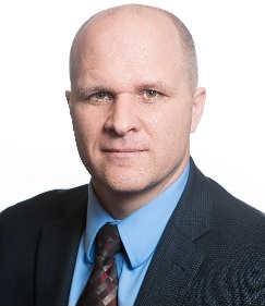
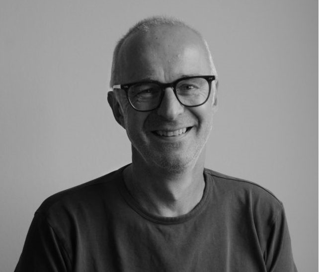 Esben Auken serves as the CEO of TEMCompany Aps (Denmark) and holds an adjunct professorship in the Department of Geoscience at Aarhus University. His career includes significant leadership roles, notably as Deputy Director at the Geological Survey of Denmark and Greenland, and previously as a full-time professor of geophysics at Aarhus University. He earned both his MSc (1991) and PhD (1996) in geophysics from Aarhus University. Esben Auken serves as the CEO of TEMCompany Aps (Denmark) and holds an adjunct professorship in the Department of Geoscience at Aarhus University. His career includes significant leadership roles, notably as Deputy Director at the Geological Survey of Denmark and Greenland, and previously as a full-time professor of geophysics at Aarhus University. He earned both his MSc (1991) and PhD (1996) in geophysics from Aarhus University.
During his tenure as professor, Auken led advanced research in electrical and electromagnetic instrumentation, as well as in the development of processing and inversion algorithms designed for high-resolution imaging of the shallow subsurface. His research has centered on surface and groundwater processes. In his current role at TEMCompany, he oversees the continued development of affordable and user-friendly electromagnetic instruments for imaging groundwater resources.
Auken has received several awards for his research; In 2023, Auken became an AGU Fellow, in 2024, he received the Danish Drinking Water price, in 2016, the Frank Frischknecht Leadership Award, and in 2015, the Industry Collaboration Award, Aarhus University.
Auken is also recognized for his entrepreneurial achievements, having co-founded three successful spin-out companies: SkyTEM Surveys Aps in 2003, Aarhus GeoSoftware ApS in 2015 (which became part of Seequent in 2021), and TEMCompany Aps in 2020.
September 2025 TAG Webinar
Numerical Modeling of Earthquake Source Parameters of the Mycenae Fault (Peloponnese, Greece) and Local Site Effects: Implications for the Structural Collapse of the Late Bronze Age Tiryns and Midea Mycenaean Citadel
Tuesday, Sept. 23, 2025
Title: UAV Total and Vector Field Magnetics Surveying Guidelines (Version 2) – Global Launch
Speaker: Dr. Hector R. Hinojosa, P.G., Principal Geoscientist, Cordillera Geo-Services, LLC, Cedar Park, TX
Date: Tuesday, Sept. 23, 2025
Time: 10:00 a.m. PT; 11:00 a.m. MDT; 12:00 p.m. CDT; and 1:00 p.m. EDT and 5:00 p.m. UTC
Registration is Required!
Register in Advance for this webinar: https://us02web.zoom.us/meeting/register/YqSHApDoRU--MGMCsa5SUA
After registering, you will receive a confirmation email containing information about joining the meeting.
Numerical Modeling of Earthquake Source Parameters of the Mycenae Fault (Peloponnese, Greece) and Local Site Effects: Implications for the Structural Collapse of the Late Bronze Age Tiryns and Midea Mycenaean Citadel
The Mycenaean civilization existed during the Late Bronze Age (LBA) (from before 1600 to ca. 1050 BCE) in what is now the Argive Basin of eastern Peloponnese, Greece. Previously interpreted archaeological and geological field data from the Argive Basin have been used to hypothesize that the nearby LBA Mycenaean citadels of Tiryns and Midea, settled on limestone bedrock, might record synchronized co-seismic structural damage due to earthquake-induced ground-shaking at ca. 1190 BCE, the end of the Mycenaean palatial period. Though, from a quantitative archaeoseismological perspective, this hypothesis has shortcomings: (a) it disregards the role of local site effects on surface ground motion, (b) it overlooks that several weak structures excavated in the undeformed Holocene sediments lack evidence of co-seismic structural damage, (c) postulated co-seismic damage is only documented for sturdier structures within the citadels, but not in the adjacent, outer, weaker structures, and (d) it leaves unexplained the source parameters of the ‘causative’ surface-rupturing earthquake. The likelihood of the formerly proposed earthquake hypothesis is tested by estimating the earthquake magnitude of the suspected ancient earthquake and its local site effects at and around the citadels, assuming that the earthquake indeed occurred. A retrospective geotechnical site microzonation coupled with the calculation of seismic amplification factors, surface ground motions, and earthquake intensity account for the local site effects assessment. The numerical modeling results show that the citadels and contemporary adjacent structures of the peasants had a lower and higher seismic hazard, respectively. Seismic amplification factors, earthquake-induced ground shaking, and seismic intensity are indeed lower for Tiryns than for Midea. Therefore, these results contradict the idea of seismically induced destruction of the citadels and challenge the plausibility of the earthquake hypothesis. The previously archaeologically documented destruction patterns unlikely represent physical evidence of co-seismic damage by the archaeologically proposed earthquake. Other explanations ought to be sought to clarify the destruction pattern seen in these Mycenaean strongholds.
Biographical Information
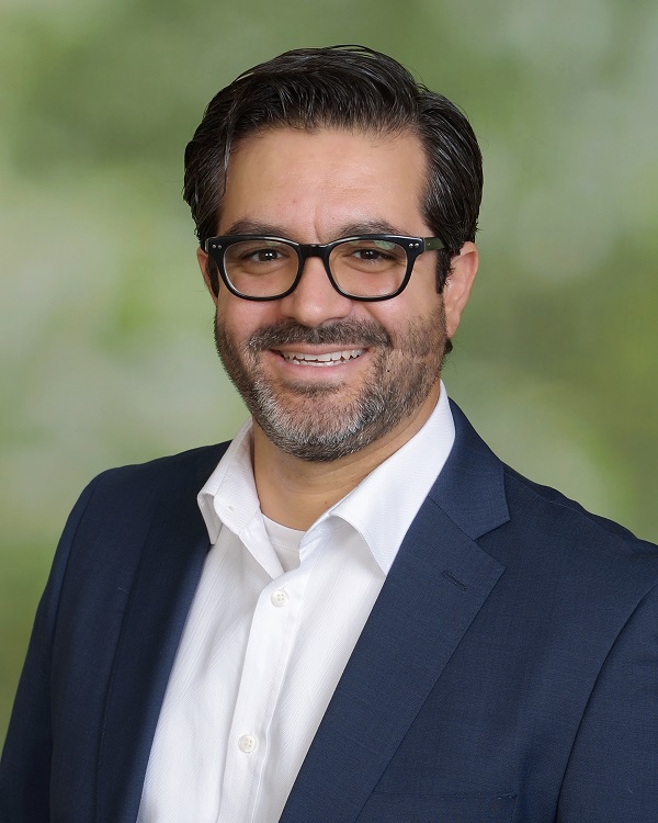 Hector R. Hinojosa, Ph.D., P.G. Hector R. Hinojosa, Ph.D., P.G.
Dr. Hector R. Hinojosa founded Cordillera Geo-Services, LLC, in 2016, where he is the Principal Geoscientist and oversees the professional geoservices (geophysical & geological) department and project management. Before Cordillera Geo-Services, he was a Junior Geophysicist, Senior Geologist, and Geophysical Application Engineer at Advanced Geosciences, Inc. (AGI), gaining unparalleled experience in the electrical resistivity tomography imaging industry. He opened and established the Latin American market and supported the U.S., Canadian, Mexican, Asian, and Australian markets there. Previously, he was a Staff Geoscientist at the Seismological Station Bensberg of the Institute of Geology & Mineralogy of Cologne University, Germany. He has contributed to industry and academic publications, including geological surveys for regional tectonic studies, geophysical surveys, exploration of natural resources, earthquake studies of active and past seismicity, geoarchaeological surveys, and geotechnical site characterization. He is also an adjunct faculty/lecturer at the Department of Environmental Technology at Texas State University, San Marcos, where he teaches various environmental technology courses.
He has a doctorate in applied geology from Cologne University (Germany), a master in geophysics from Miami University (USA), a master in structural geology from Ohio University (USA), and a bachelor in geosciences from The University of Arizona at Tucson (USA). He is a licensed Professional Geoscientist (P.G.) in Texas and a member of several geoscientific societies, including the Geological Society of America, the Society of Economic Geology, and the Environmental and Engineering Geophysical Society. He lives in Cedar Park, Texas. He enjoys swimming, hiking, cooking, and reading geoscientific literature in his spare time.
October TAG Webinar
UAV Total and Vector Field Magnetics Surveying Guidelines (Version 2) – Global Launch
Thursday, October 3, 2024
Title: UAV Total and Vector Field Magnetics Surveying Guidelines (Version 2) – Global Launch
Speakers: Geoff Pettifer, Terra Entheos Geoscience Pty. Ltd.; Jeff Gamey, Tetratech; and both are members of the Near-Surface Geophysics Inter-Society Committee on UAV Geophysics Guidelines.
Date: Thursday, Oct. 3, 2024
Time: 5:00 a.m. PT; 6:00 a.m. MT; 7:00 a.m. CT; and 8:00 a.m. ET. and UTC 1:00 p.m.
Registration is Required!
Register in Advance for this webinar: https://us02web.zoom.us/meeting/register/tZ0qf-ytrj8tEtNc6j59_pysbUbF6Qm5lZEZ
Registrants will receive a confirmation email with the link to join the webinar.
The UAV Total and Vector Field Magnetics Surveying Guidelines (Version 2) is the first major update of the UAV Total and Vector Field Magnetics Surveying Guidelines (Version 1)”, November 2022 and part of an ongoing global Inter-Society initiative to develop UAV geophysics guidelines.
Increasingly there is use of UAV magnetics for UAV and geotechnical projects. Version 2 of the magnetics guidelines addresses in more detail, specifics of optimal UAV magnetics surveying for UXO and geotechnical surveying. Version 1 focused more on basic principles of UAV magnetics surveying primarily for geological mapping / exploration surveys. Version 1 also includes a draft contract specification to assist those commissioning UAV magnetics surveys.
In this EEGS TAG Webinar, which is the global launch of UAV Total and Vector Field Magnetics Surveying Guidelines (Version 2), the overall guidelines are briefly revisited and the updates on how to best carry out UXO and geotechnical surveys are explored in some detail, as well as introducing the draft contract specification.
The Version 2 guidelines can be downloaded upon registering for access to a copy, from https://www.guidelinesfordronegeophysics.com/#Magnetics.
As background, the guidelines arose from the inaugural SEG Summit on Drone Geophysics, 2020. At the Summit, a group of concerned geophysicists that were practitioners or interested users, in the emerging field and practice of use of UAV (drone)-based geophysical sensors for acquisition of magnetics, radiometrics, electromagnetics, ground penetrating radar (GPR), remote sensing and eventually gravity data, were interested in getting order into this rapidly proliferating field of geophysical surveying and saw the need for guidelines.
There was evidence that a significant proportion of the magnetic data collected particularly on these UAV magnetics surveys, was of a lower quality standard than the geophysical industry was accustomed to, compared to ground or conventional airborne geophysical acquired data and this sub-quality data proliferation needed to be addressed.
It was recognized in the discussions at the Summit, that many drone users, not experienced in geophysics, increasingly were developing drone mounted geophysical systems and acquiring primarily magnetic data. Many geophysicists who were new to drone geophysics, coming from a land surveying or airborne surveying background were also on a learning curve on how to best acquire and process quality drone geophysical data. Many potential clients needed to understand enough to ensure their contractor would be both qualified and providing good data within recognized guidelines. Overall education on drone geophysics best practice was needed.
Accordingly, a Near-Surface Geophysics Inter-Society Committee on UAV Geophysics Guidelines (https://www.guidelinesfordronegeophysics.com/), not tied directly to any particular geophysical Society but supported by experienced and interested volunteers from many geoscience Societies, was formed. Because drone-based magnetics was the most common data being acquired, it was decided for the Committee to first develop Guidelines for UAV Magnetics as a template for subsequent guidelines on UAV-based radiometrics, electromagnetics, radar, remote sensing and possibly gravity data. Promoting the guidelines and educating drone geophysics data end-users throughout the global geoscience community is also part of the Committee’s mission.
Guidelines can be easily developed and readily updated, which is much suited to the rapid evolution of drone- based geophysical technologies. Standards are more difficult to develop and get agreement on and guidelines can serve in the interim as a set of defacto standards.
Version 1 of the magnetics guidelines was launched in a SEG Webinar in 2022 and subsequent launches of other guidelines (radiometrics, GPR, electromagnetics, remote sensing and gravity) which are in various stages of development are planned, to be shared around the various geophysical Societies that are supporting this Inter-Society initiative.
Visit https://www.guidelinesfordronegeophysics.com/#Supporters to learn more about the Guidelines, V2.
Biographical Information
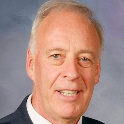 Geoff Pettifer Geoff Pettifer
Geoff is a Technical Principal – Geophysics in SMEC, and Principal in Terra Entheos Geoscience Pty. Ltd. He has over 50 years specialised experience in 300+ near-surface geophysical projects for the practical application of geophysics to geotechnical, groundwater, mining, environmental, bore geophysical logging and condition assessment, resource assessment, salinity, and soil mapping projects using ground, airborne, downhole and marine geophysical methods, and has recently added use of drone geophysics to the methods employed.
His consulting interests include sustainable groundwater usage, sustainable irrigation, sustainable mining and mine development, geotechnical and environmental investigations, international development assistance and community / stakeholder engagement.
He has additional varied experience and training in irrigation review and management, water resources, remote sensing, image processing, information management, GIS and database, flood mapping, asset management, catchment management and community engagement. Geoff also has extensive groundwater, salinity, major infrastructure and international development assistance project management experience.
Geoff has worked and consulted throughout Australia and overseas in Papua New Guinea, Indonesia, Malaysia, Bangladesh, China, Russia, Canada, US, Philippines and Africa. He has a BSc, Grad. Dip. (Applied Geophysics) and Grad Cert, (Regional Community Development) and is a member of SEG, EEGS, EAGE, ASEG, KEGS, AEG and IAH.
He is active in the geophysical community as Co-Chair of the Near-Surface Geophysics Inter-Society Committee on UAV Geophysics Guidelines, as Past Chair of SEG Near Surface Technical Section and is a former Editor of EEGS FastTIMES and the ASEG Preview.
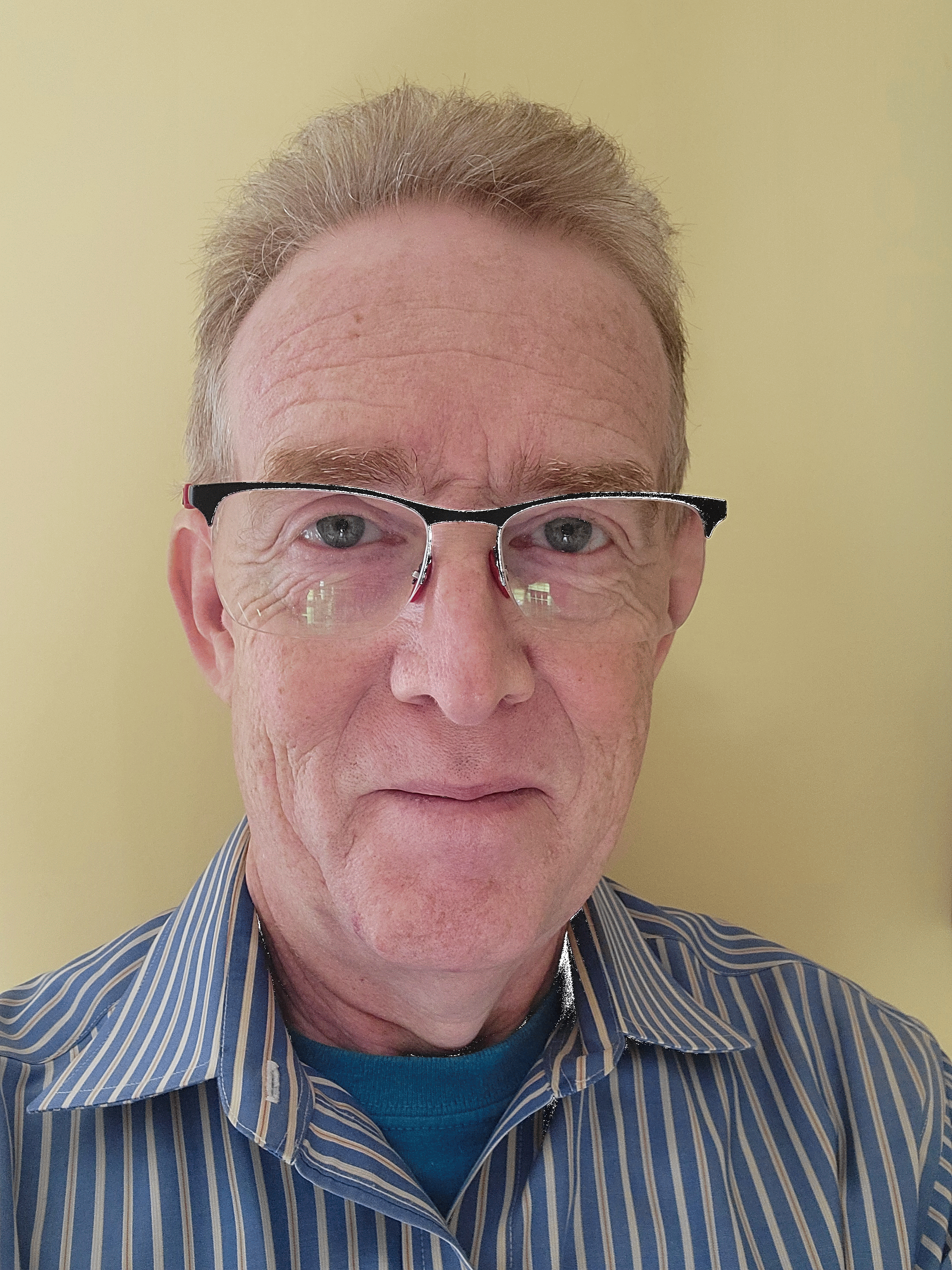 Jeff Gamey Jeff Gamey
Jeff Gamey is a Senior Geophysicist at Tetra Tech in Oak Ridge, Tennessee conducting ground, marine and airborne surveys for munitions response. He graduated from the University of Western Ontario with a BSc in geophysics in 1985 and later completed his MBA at York University in 1992. He worked his way through university conducting mining surveys in northern Canada. On graduation, he worked for an airborne mineral exploration company and gradually moved into R&D and environmental applications such as groundwater contamination. From there, he moved to Tennessee to work at the Oak Ridge National Laboratory and then Battelle Memorial Institute. He first started working in the munitions response field in 1993. While working at ORNL he worked closely with the US Army Corps of Engineers conducting contractor oversight and helped to establish the groundwork for the original QC procedures for geophysical mapping of ordnance. He is best known for his work in airborne geophysics, developing a series of low-altitude helicopter mapping systems for ordnance detection. He also teaches a geophysics module to ordnance technicians through the University of Tennessee UXO Technician Level 1 program.
May TAG Webinar
"Passive seismic approaches for active geophysicists"
Tuesday, May 28, 2024
Title: Passive seismic approaches for active geophysicists
Speaker: Silvia Castellaro, Ph.D.
Date: Tuesday, May 28, 2024
Time: 10:00 a.m. PT; 11:00 a.m. MT; 12:00 p.m. CT; and 1:00 p.m. ET
Registration is Required!
Register in Advance for this webinar: https://us02web.zoom.us/meeting/register/tZIudOChrzwoE9TsxmHY9BQrQb_BocDnKRX8
Registrants will receive a confirmation email with the link to join the webinar.
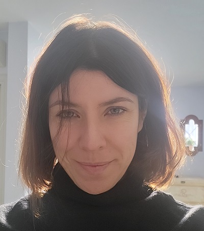
Resonance frequencies are intrinsic properties of elastic media: they depend on their stiffness and mass distribution, and on their constraints. In geological and geophysical applications, resonance frequencies are traditionally assessed by means of the microtremor H/V seismic method. Resonance frequencies can quite easily be converted into the corresponding depths of seismic reflectors responsible for the occurrence of those resonances, in the presence of a Vs estimate. Since 1999, this has led to several interesting images of the main reflectors in the soil achieved by means of passive single station approaches. However, resonances, being intrinsic properties, are expected to change only in amplitude and not in frequency with the measurement point, in a same medium.
"How can we reconcile the fact that, as an example, a basin cross-section is a geological medium with characteristic and unique modal frequencies that do not change along the cross-section, with the fact that the H/V peak frequencies shift from the sides to the center of the basin? To answer this question, we’ll explore what we call 1D and 2D resonance and H/V or H&V approaches and provide some hints on how to discriminate and exploit the two cases.
Biographical Information Silvia Castellaro, M.Sc. in Geophysics, M.Sc. in Civil Engineering, Ph.D in Earth Sciences
Ms. Castellaro began working on single station and multichannel passive seismic methods in 2002, developing both new hardware and software tools in these fields. Currently she is professor at the Department of Physics and Astronomy of the University of Bologna (Italy), where she teaches General Physics, Earth Physics, Exploration Geophysics, Engineering Seismology. She also is an independent scientific consultant at MoHo Geophysics srl.
Her current main interests of research are the dynamic characterization of soils and structures and the use of the modal frequencies to assess some intrinsic properties of different types of natural and man-made structures. Ms. Castellaro is the author of more than 70 papers on international peer-reviewed scientific journals.
All TAG Webinars begin at times based on US Mountain Time Zone.
2023 TAG Webinar Presentations History
June TAG Webinar
"How can technology speed up the reconstruction of Ukraine during and after the war?"
Wednesday, June 14, 2023
Title: How can technology speed up the reconstruction of Ukraine during and after the war?
Speaker: Bart Gruyaert, Project Director Ukraine at NEO-ECO
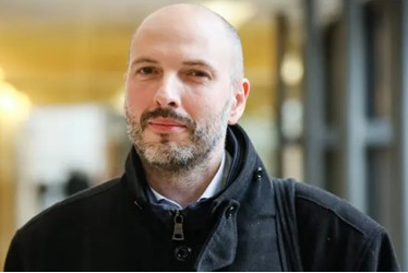 How can technology speed up the reconstruction of Ukraine during and after the war? This presentation will answer this question and will cover debris management, debris clearance and land clearance as well as topics such as AI and sensor technology. How can technology speed up the reconstruction of Ukraine during and after the war? This presentation will answer this question and will cover debris management, debris clearance and land clearance as well as topics such as AI and sensor technology.
Mr. Gruyaert serves as Project Director Ukraine at NEO-ECO NEO ECO, Hallennes-lez-Haubourdin, Hauts-de-France. His work experience also includes CEO of Altifort, Paris, Île-de-France. He holds a Master of Business Administration (MBA) from Ehsal, BrusselsEhsal, Brussels and Universiteit GentUniversiteit Gent (1995 – 2000) Naval engineering.
May Webinar
"GEOPHYSICS FOR TROUBLESHOOTING PROBLEM ORPHAN OIL & GAS WELLS FOR RISK ASSESSMENT AND FOR PLANNING RE-ENTRY, REMEDIATION, RE-PURPOSING, OR PLUGGING"
May 10, 2023
Title: GEOPHYSICS FOR TROUBLESHOOTING PROBLEM ORPHAN OIL & GAS WELLS FOR RISK ASSESSMENT AND FOR PLANNING RE-ENTRY, REMEDIATION, RE-PURPOSING, OR PLUGGING
Speaker: Geoff Pettifer, GHD Perth, Western Australia
 As part of the US Federal Infrastructure / Climate Change management funding ~$4.7 billion will be spent through to September 2030, by between 26 to 38 States, on finding, investigating, assessing and documenting condition, risk-ranking, plugging and legal aspects of Oil & Gas (O&G) Orphan, Abandoned, and Idle Wells. These wells are invariably in poor condition and/or have been not properly plugged, often leaking hydrocarbons to the atmosphere and environment and/or polluting shallow beneficial aquifer systems and salinizing soils with leakage of deeper saline groundwaters. In some cases these wells pose leakage risks, to re-purposing the depleted O&G reservoirs for other purposes such as gas storage or carbon sequestration. Orphan wells are in a variety of terrains (forested, croplands, deserts, mountains), often with their surface evidence hidden or destroyed. As part of the US Federal Infrastructure / Climate Change management funding ~$4.7 billion will be spent through to September 2030, by between 26 to 38 States, on finding, investigating, assessing and documenting condition, risk-ranking, plugging and legal aspects of Oil & Gas (O&G) Orphan, Abandoned, and Idle Wells. These wells are invariably in poor condition and/or have been not properly plugged, often leaking hydrocarbons to the atmosphere and environment and/or polluting shallow beneficial aquifer systems and salinizing soils with leakage of deeper saline groundwaters. In some cases these wells pose leakage risks, to re-purposing the depleted O&G reservoirs for other purposes such as gas storage or carbon sequestration. Orphan wells are in a variety of terrains (forested, croplands, deserts, mountains), often with their surface evidence hidden or destroyed.
This TAG webinar presentation, adapted from a presentation first given at the AAPG event, briefly lists the possible methods to locate wells, but with examples, instead focuses more upon on how once a well location has been identified, geophysics may be used to possibly help:
(1) determine if the well is a problem oil and gas well (or another type of well);
(2) if needed, more precisely determine the location of the well for re-entry planning purposes;
(3) determine any evidence of the nature of the surface completion of the well;
(4) determine if there are surface manifestations of leakage affecting shallow groundwater and soils;
(5) determine by geophysical logging, as much as is practicable with the plugging methods that might be in place, what is the casing condition and where casing leakage may be a problem for the groundwater system or not and whether the well can be safely re-purposed or not for other applications; and
(6) assist design of a plugging program to best stop any leakage problems that the well has and to give comfort to the regulator that all leakage has been identified and fixed.
Geoff Pettifer is a Technical Director – Hydrogeology and Geophysics in GHD - with 50+ years specialized experience in the practical application of geophysics to groundwater, geotechnical, mining, environmental, bore geophysical logging and condition assessment, resource assessment, salinity, and soil mapping projects. He has additional varied experience and training in irrigation review and management, water resources, remote sensing, image processing, information management, GIS and database, flood mapping, asset management, catchment management and community engagement. Geoff also has extensive project management experience on groundwater, salinity, major infrastructure and international development assistance projects. His consulting interests include sustainable groundwater usage, sustainable irrigation, sustainable mining and mine development, geotechnical, environmental investigations and international development assistance and community / stakeholder engagement. Geoff works and consults, part-time, throughout Australia and overseas, including completed assignments in Papua New Guinea, Indonesia, Malaysia, Bangladesh, China, Pakistan, Russia, Canada, US, Philippines and Africa. He is active in SEG NSTS and EEGS in working to promote near-surface geophysics benefits and collaborations.
March Webinar
March 8, 2023
Title: Active and passive underwater surface wave methods
Speaker: Dr. Koichi Hayashi, Senior Technical Manager at OYO Corporation and Geometrics, Inc.
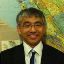
This presentation introduced the fundamental theory of underwater surface waves and application example of active and passive surface wave methods at the bottom of lake, river and ocean for various engineering and environmental investigations. An explosive source or vertical force at the bottom of water generates seismic wave that horizontally propagates along the bottom of water. The waves are called Stoneley waves and correspond to generalized Rayleigh waves. Low frequency Stoneley waves propagating at the bottom of water propagate with approximately P-wave velocity of water (1500 m/sec) where S-wave velocity of solid layer is higher than P-wave velocity of the water. In contrast, it propagates approximately S-wave velocity where S-wave velocity of solid layer is lower than P-wave velocity of the water and enables us to estimate S-wave velocity of the solid layer by measuring propagation velocity of the Stoneley waves like surface wave methods performed on the ground surface.
Dr. Koichi Hayashi is presently a Senior Technical Manager at OYO Corporation and Geometrics, Inc. in San Jose, California. Over the past 30 years, he has worked as a research geophysicist focusing on providing better tools and algorithms for near-surface geophysical methods. He earned a B.S. degree in Earth Sciences from Chiba University in Japan, a M.S. degree in Earth Sciences from the Massachusetts Institute of Technology, and a Ph.D. in Earth Resources Engineering from Kyoto University in Japan. His main research areas are seismic refraction, active and passive surface waves, finite-difference seismic modeling, and traveltime inversion. He is the author of the SeisImager data analysis suite of programs and has incorporated many of his theoretical developments into the software, making SeisImager one of the premier surface wave, refraction, and downhole data processing packages available today. He regularly presents papers at the major meetings, publishes in journals of EEGS, SEG, SEGJ, and SSA, and serves on scientific commissions. In 2014, he was selected as the SEG Near-Surface Honorary Lecturer, with his talk entitled “Integrated Geophysical Methods Applied to Geotechnical and Geohazard Engineering: From Qualitative to Quantitative Analysis and Interpretation”. Most recently, he was a contributing author to the textbook entitled “Seismic Ambient Noise”.
2022 TAG Webinar Presentations History
November Webinar
November 9, 2022
Title: Continuous Marine Seismic Refraction
Speaker: Justin Anning, Surrich Hydrographics
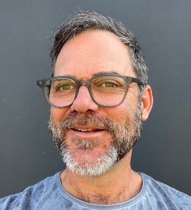
Seismic reflection and refraction surveys provide valuable sub-surface information with respect to coastal geotechnical projects. The seismic reflection method maps layers and interfaces, while the refraction method maps compressional rock velocities.
Single channel seismic reflection is referred to as Sub Bottom Profiling (SBP) and the examples shown herein were performed using a boomer seismic source. Utilizing the same survey vessel and positioning system used for the SBP survey, seismic refraction surveys can be performed in a mobile towed configuration, using a small volume airgun and multichannel streamer. We refer to this methodology as Continuous Marine Seismic Refraction (CMSR).
Examples are presented demonstrating the advantages of acquiring both SBP boomer and CMSR.
Justin has been a co-owner of Australian company Surrich Hydrographics since 2012, where they concentrate on coastal hydrographic and geophysical projects. Justin leads the geophysical projects while business partner Andrew Richardson leads the hydrographic survey projects.
Justin has a BSc in Geophysics from Curtin University, Western Australia in 1993. He has been predominantly self-employed. Previous experiences in the industry are beginning to fade from memory however he started on land, experiencing the typically diverse applications that come with shallow engineering geophysics and exploration work. His fondest memories are the groundwater, salinity mapping and diamond exploration jobs he performed during the first decade of his career before the mining boom made things totally hectic, with the GFC in 2008 being a welcome relief.
October Webinar
October 12, 2022
Title: 4D Electrical Resistivity Imaging of Stress-Induced Changes in Secondary Porosity During High Pressure Injections into a Deep Crystalline Rock Formation
Speaker: Tim Johnson, Pacific Northwest National Laboratory
Fluid flow through fractured rock systems is governed in large part by the distribution, interconnectivity, and size of fracture apertures. In-situ stress isone of the primary factors controlling fracture aperture, and one that is altered significantly during high-pressure fluid injections or extractions. Interactions between stress, pore pressure, aperture, and fluid flow can result in complex and evolving poroelastic behavior with significant implications regarding the predictability and risk involved with developing and managing deep subsurface reservoirs (geothermal, fossil energy, and geologic carbon sequestration).
In saturated rocks, bulk electrical conductivity is sensitive to both primary and secondary porosity (i.e. matrix porosity and fractures), and therefore to fracture aperture size and distribution. We demonstrate the use of time-lapse 3D electrical resistivity tomography for remotely monitoring stress induced changes in aperture distribution during high pressure injections into a dense fractured rock system at a scale of tens of meters. Results reveal a complex and continuously evolving stress field involving aperture dilations in the natural fracture system and aperture contractions in adjacent zones of shadow stress. Results provide information about the spatiotemporal changes in the system behavior and point to the potential of electrical imaging for autonomously and remotely monitoring evolving stress conditions by proxy through changes in bulk electrical conductivity.
As a reminder, send in webinar topics you'd like to see or indicate your interest in presenting using this feedback form: Click here!
|


 Esben Auken serves as the CEO of TEMCompany Aps (Denmark) and holds an adjunct professorship in the Department of Geoscience at Aarhus University. His career includes significant leadership roles, notably as Deputy Director at the Geological Survey of Denmark and Greenland, and previously as a full-time professor of geophysics at Aarhus University. He earned both his MSc (1991) and PhD (1996) in geophysics from Aarhus University.
 Hector R. Hinojosa, Ph.D., P.G.
 Geoff Pettifer
 Jeff Gamey
 How can technology speed up the reconstruction of Ukraine during and after the war? This presentation will answer this question and will cover debris management, debris clearance and land clearance as well as topics such as AI and sensor technology.


